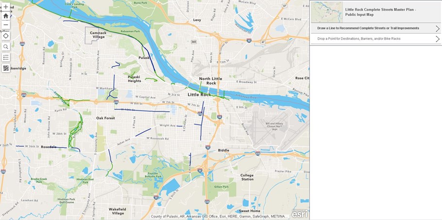
Complete Streets Plan Interactive Map
Visit the interactive map below to give us (spatially referenced) feedback. On the map, you can:
* Identify your walking and biking destinations
* Suggest locations for bike lanes, sidewalks, or trails
* Identify barriers to walking and biking
* Identify existing bike racks and suggest locations for future bike racks
* “Like” other people’s comments to show comment support

